Nine houses · three volcanoes · Coilaco Alto, Pucón
You see everything.
Nobody sees you.
−39.2898, −71.7406 800 m above sea level Scroll
Nine houses · three volcanoes · Coilaco Alto, Pucón
The idea
A hillside above Pucón, a road climbing it, nine single-storey houses on nine terraces. Glass towards the volcanoes, stone towards the hill. The house above sees your roof, never your window.
The place
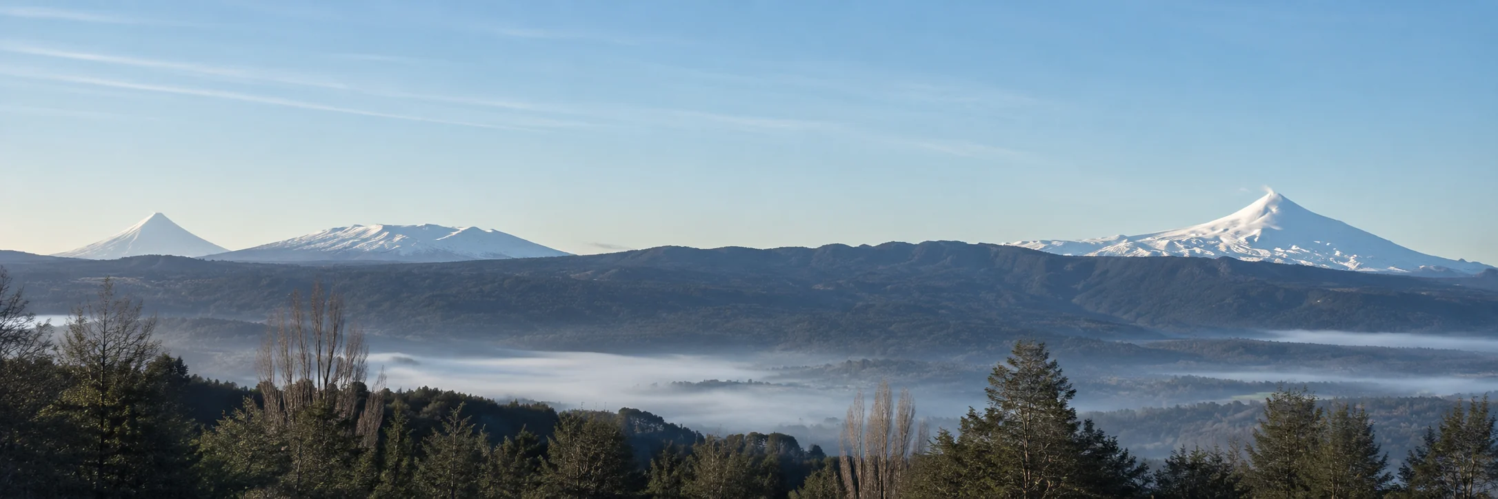
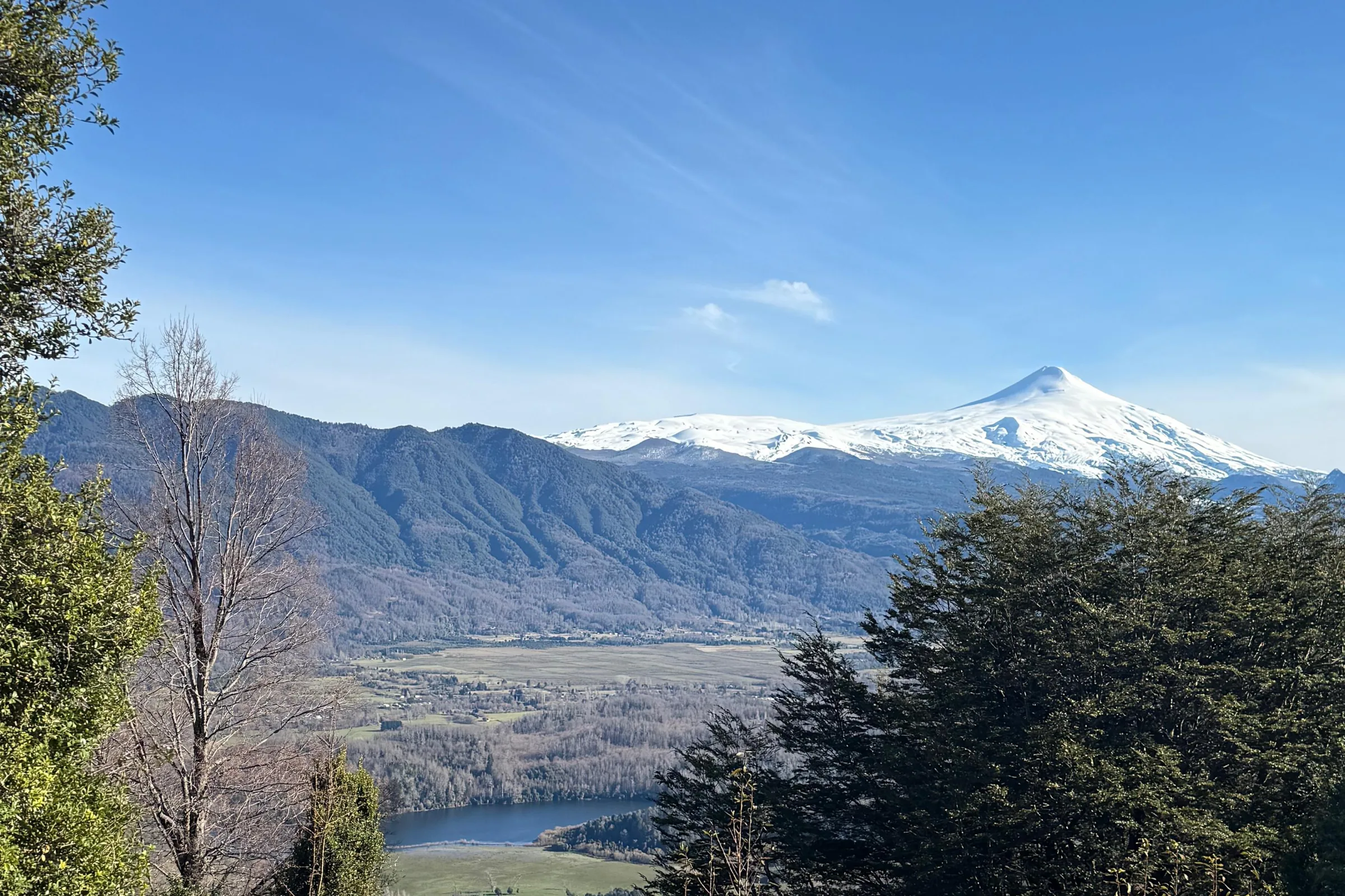
Coilaco Alto is a forested hillside twenty kilometres east of Pucón. The land climbs about a hundred metres from the gate to the top lots. It faces south-west, straight at the volcanoes.
Nothing can be built between you and the view. Below the last terrace the hill falls into the valley.
01 · Privacy
The slope does the work. The road climbs the hill and the lots step up beside it, each terrace fifteen to twenty metres above the last. Each house sits at the top of its lot, dug into the hill. Its roof is below the floor of the house above. The houses zigzag up the hill, so no house stands right above another. Roofs are planted. That is all your uphill neighbour sees.
Across the road the neighbour is at your level, sixty metres away. The two houses turn ten degrees away from each other. Both look at Villarrica. Neither sees the other. Native trees fill the gap.
More on privacySection, indicativeplanted roofpool edge
Plan, indicativeglass frontwhat each house sees
From the road
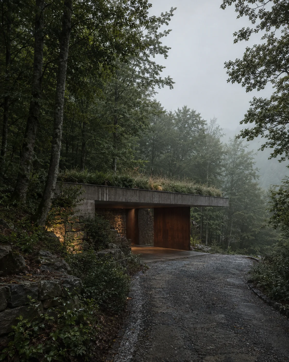
The road passes the end of the house, not its front. The drive drops to a garage dug into the hill under the planted roof. From the road you see a concrete lintel, a corten door, grass at eye level and a stone wall. You cannot tell how long the house is, or that there is a pool.
This is on purpose. The road is the only shared space on the hill, and it gives nothing away.
02 · Simplicity
One long bar, twenty-five to thirty-five metres long and eleven deep, set along the contour at the top of the lot. Bedrooms at one end, living room in the middle, garage at the road end. Glass along the whole valley side.
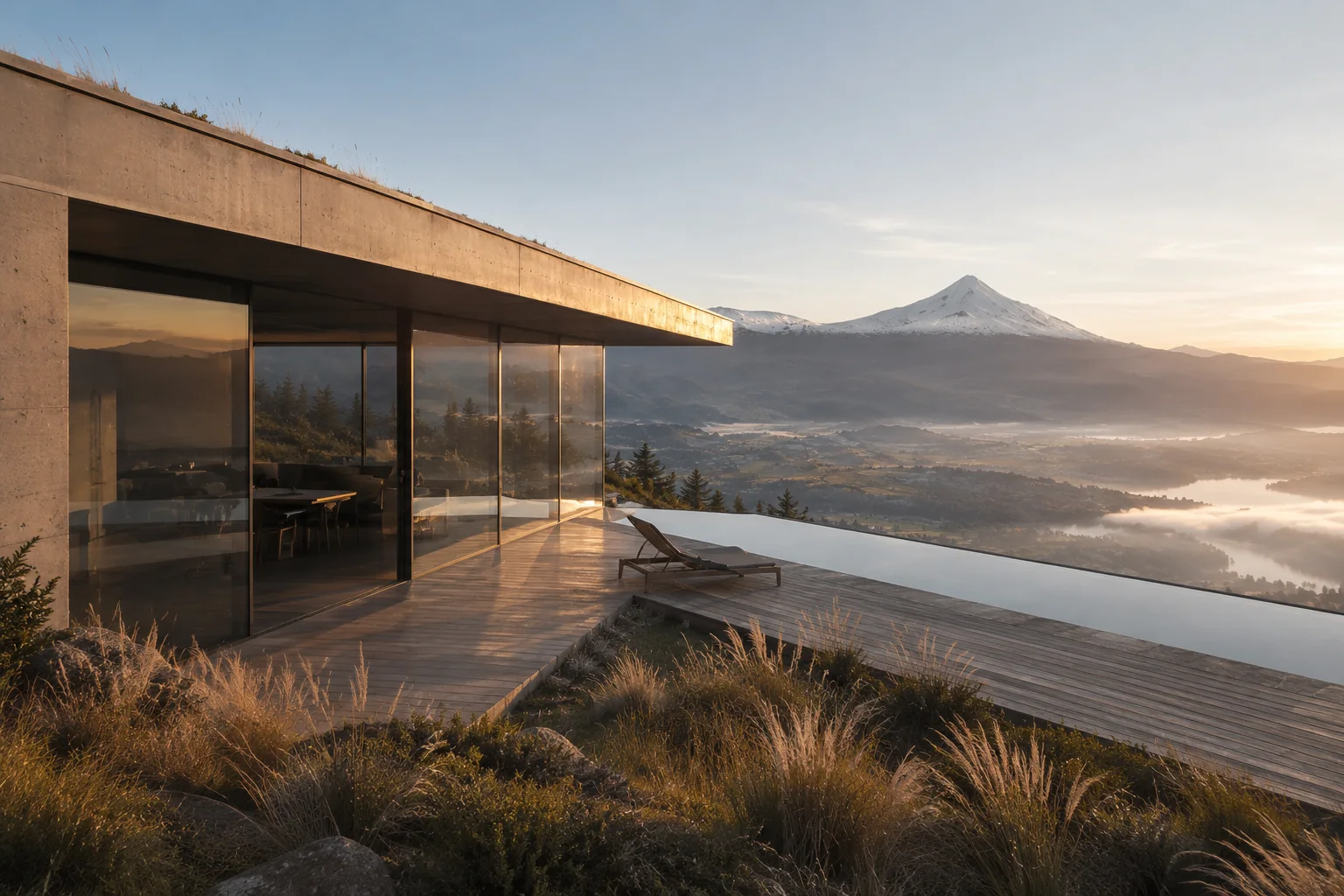
The terrace steps out of the living room over the slope. The pool sits in it. The far edge of the pool is the horizon, and behind it the volcano.
More on the house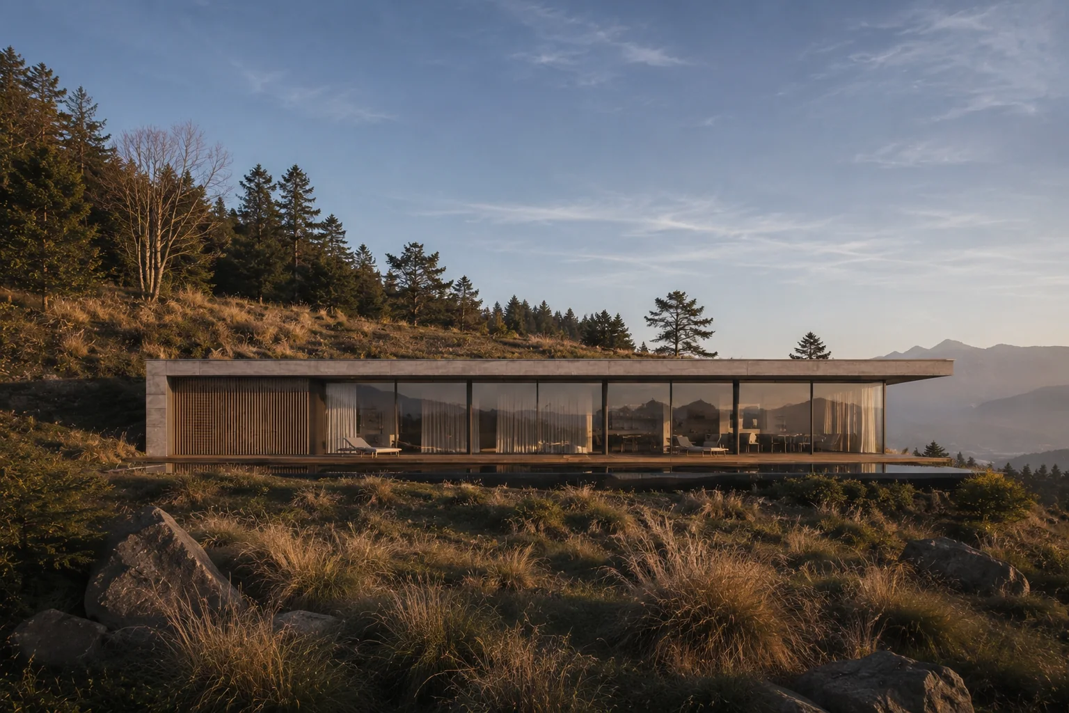
Plan, indicative · 25–35 × 11 m · 280–380 m² · 3–4 bedroomsNot to scale
Inside
The volcanoes are to the south, so the glass faces the shade. Daylight comes in over the concrete wall through a band of high windows on the hill side. Concrete floor, timber ceiling, a corten fireplace, nothing on the walls.
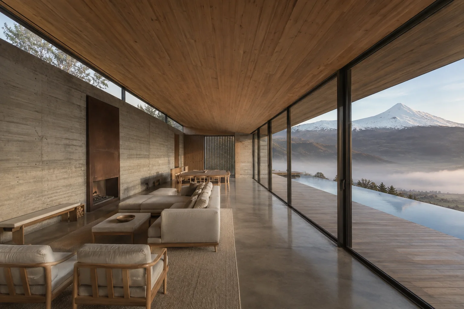
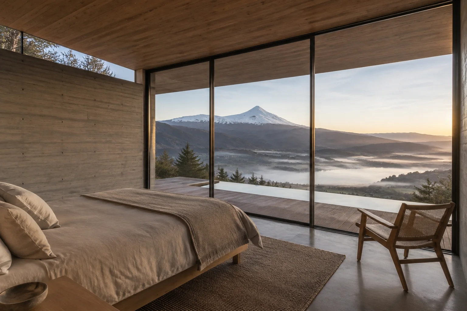
The bedrooms face the same way as everything else. You wake up to the volcano.
03 · Nature
Timber that turns silver, concrete cast against boards, stone laid dry. Local raulí and coigüe for the slats and decks. Grasses instead of lawn. A planted roof where the house above looks down. Corten at the roof edge and the door, the one warm colour. Nothing painted, nothing polished.
A deep roof overhang keeps the glass dry through two metres of rain a year. The concrete floor holds the winter sun. Power from the roof, internet by Starlink.
More on materials and systems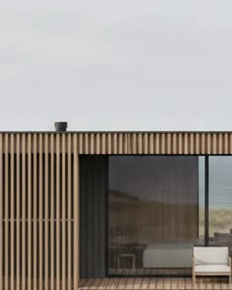 Timber
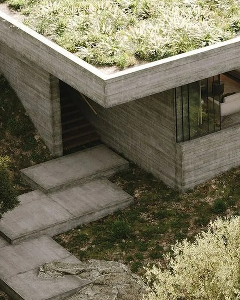 Concrete
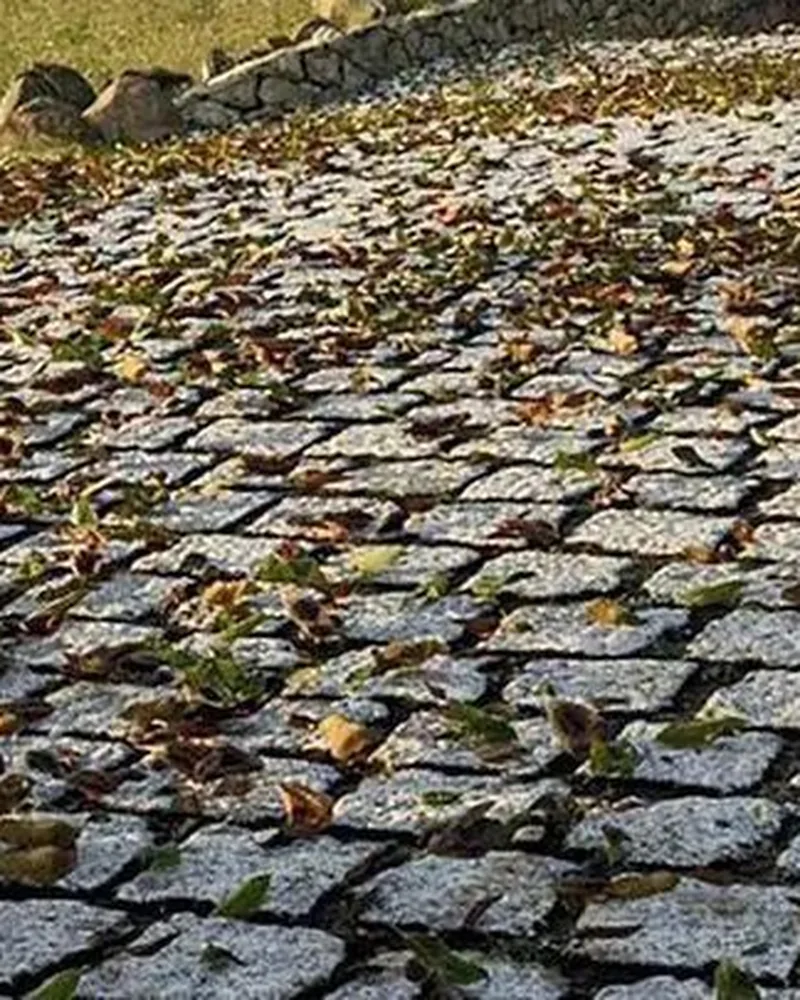 Stone
Stone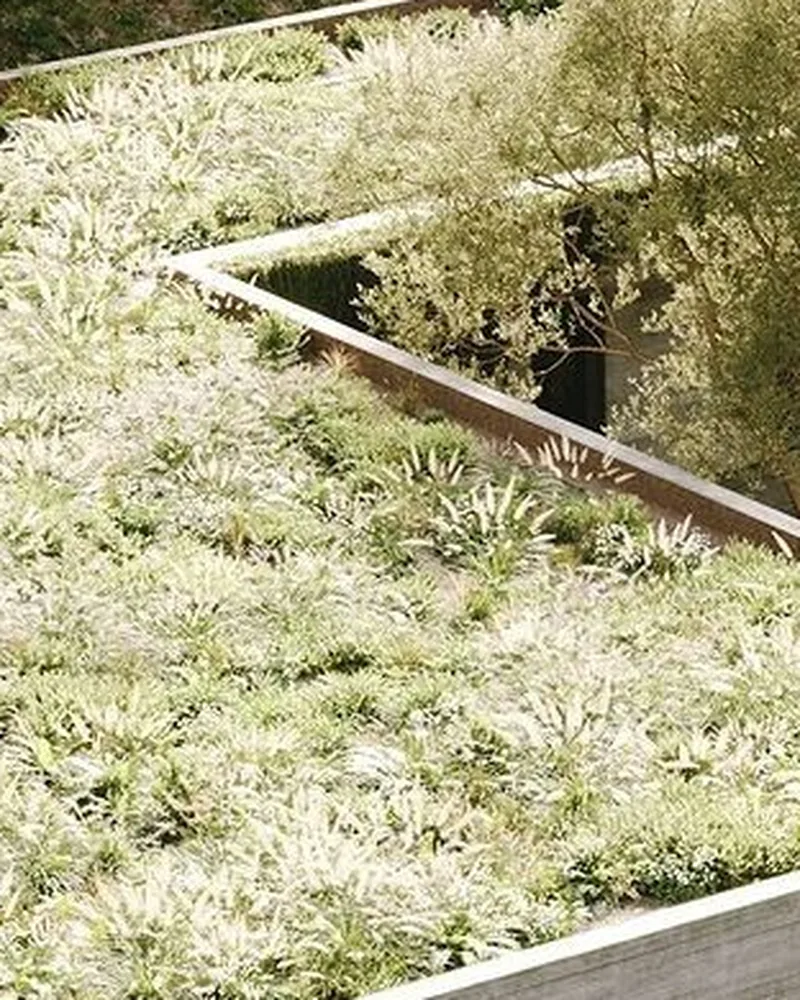 Planted roof
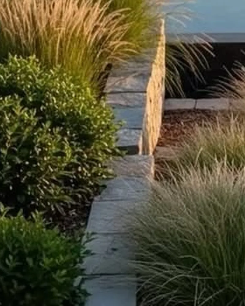 Grasses
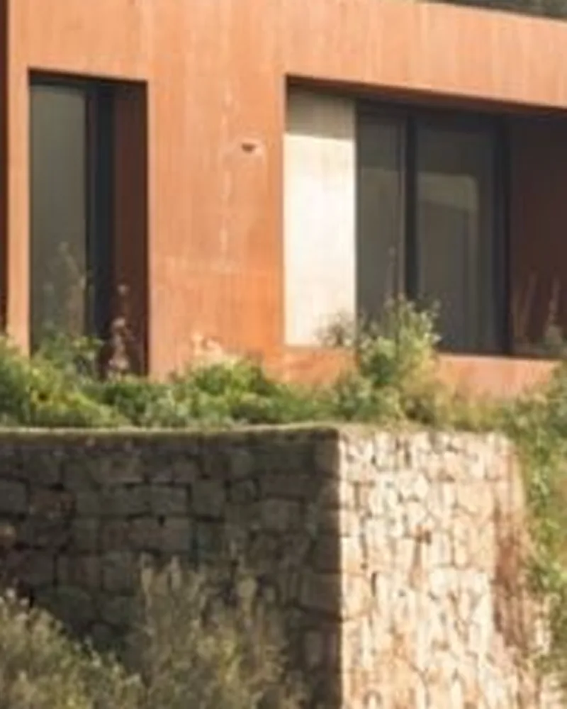 Corten
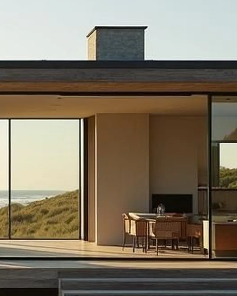 Glass
Glass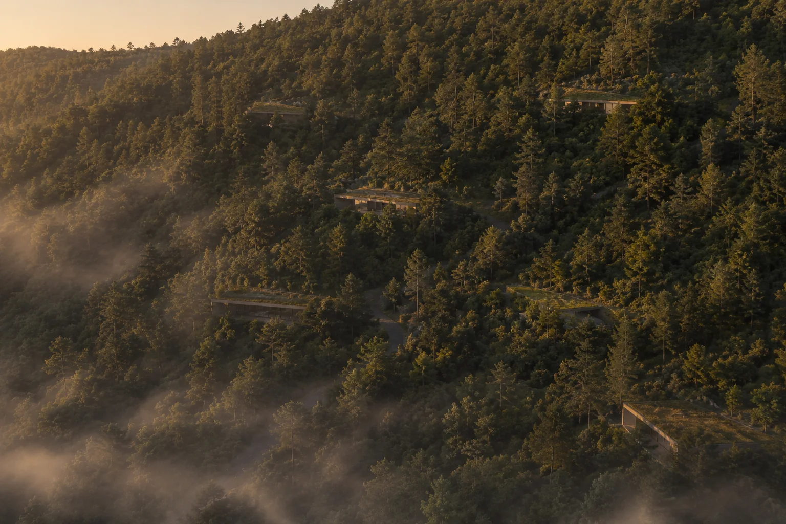
The nine lots
A private road climbs the hill. The lots step up on both sides, five terraces each side. Each lot is 5 000 m², 58 metres up the slope and 86 metres along it. The house lies across the top of the lot, with more than twenty-five metres of forest at each end. Every terrace looks over the planted roof of the one below. Lots come with the house design and a fixed-price building contract. You choose the terrace and the side. The rest is settled.
Site plan from the survey, houses to scale. The road climbs the hill, five terraces on each side, each pair of houses turns 10° apart. Dashed lots are not part of Menetúe Ridge.
Pucón
Villarrica is an active volcano, monitored around the clock by SERNAGEOMIN. The site is 22 km from the crater, well outside the hazard zones. That is why you see it so well.
Around
Three volcanoes, two lakes, five hot springs and a river with rapids, all inside a thirty-minute drive. Fourteen things to do before lunch.
Thermal springs · Rafting & kayaking · Fly fishing · Lakes · Waterfalls · Hiking · Climbing & mountaineering · Skiing · Horses · Cycling · Caves · Canyoning · The ocean · Patagonia
See what is aroundContact
There are nine of these and there will not be more. The best way to decide is an afternoon on the hill. Write to us and we will find a date.