Around

What is around.

Coilaco Alto sits between Pucón and the Andes, above the Trancura valley. Hot springs ten minutes away, the river ten minutes below, three volcanoes, two lakes. Distances are in a straight line from the site. Times are by car.

Within
VOLCÁN VILLARRICA 2 847 m VOLCÁN QUETRUPILLÁN 2 360 m VOLCÁN LANÍN 3 747 m Lago VillarricaLago CaburguaLago Calafquén Lago Villarrica · 6 · 21 km · 35 min Salto El León Salto El León · 4 · 17 km · 40 min Termas Montevivo Termas Montevivo · 3 · 7 km · 20 min Pucón trails Pucón trails · 3 · 16 km · 30 min Termas Pucón Indómito Termas Pucón Indómito · 2 · 13 km · 45 min Termas Geométricas Termas Geométricas · 2 · 27 km · 90 min Lago Caburgua · 2 · 11 km · 20 min Mirador de Peces Mirador de Peces · 2 · 10 km · 15 min Volcán Villarrica Volcán Villarrica · 2 · 22 km · 50 min Termas Peumayén Termas Peumayén · 1 · 8 km · 25 min Río Trancura Alto Río Trancura Alto · 1 · 27 km · 45 min Río Trancura Río Trancura · 1 · 9 km · 20 min La poza, Pucón La poza, Pucón · 1 · 19 km · 35 min Playa Blanca, Caburgua Playa Blanca, Caburgua · 1 · 13 km · 20 min Lago Calafquén · 1 · 42 km · 70 min Ojos del Caburgua · 1 · 10 km · 15 min Salto El Claro · 1 · 15 km · 35 min Cerro Quelhue Cerro Quelhue · 1 · 15 km · 30 min Lagunas Andinas Lagunas Andinas · 1 · 37 km · 60 min Pillán Pillán · 1 · 22 km · 50 min Pucón in winter Pucón in winter · 1 · 18 km · 35 min Curarrehue Curarrehue · 1 · 16 km · 30 min Capilla Ruka Capilla Ruka · 1 · 22 km · 55 min Paso Mamuil Malal Paso Mamuil Malal · 1 · 38 km · 75 min Termas Menetúe P. N. Huerquehue MENETÚE RIDGE The nine houses 5 KM N ↑

Black pins are places, with the distance from the gate. Round photos are posts people shared from there. Tap one and it opens on the map.

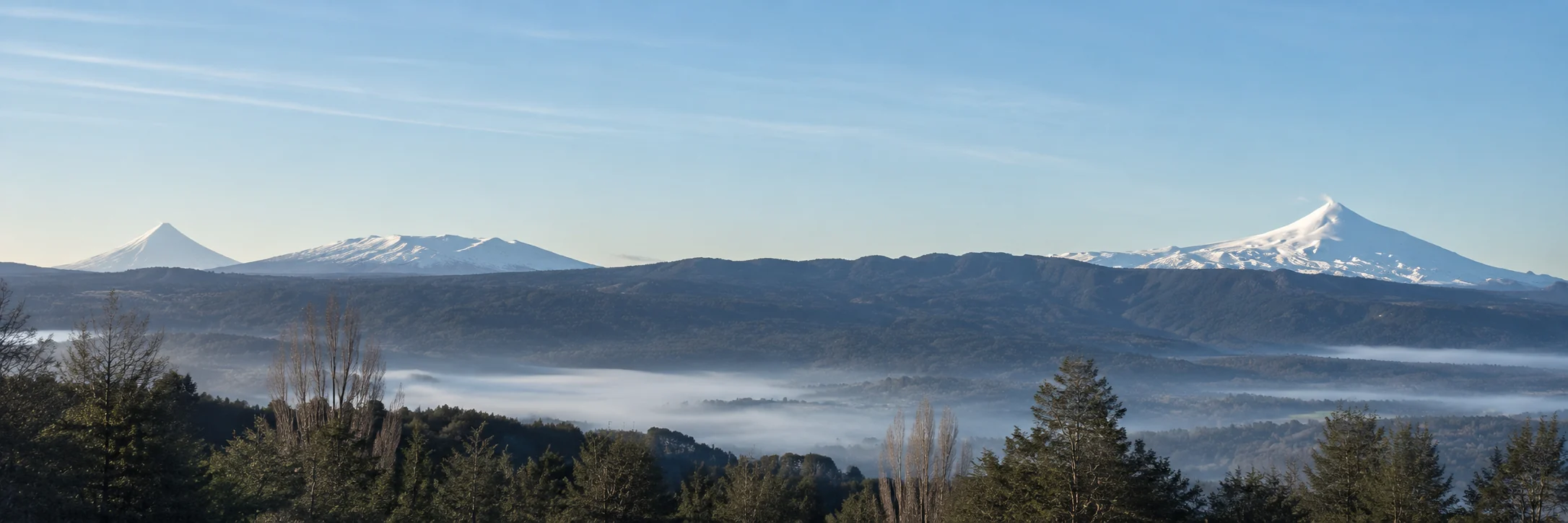
Panorama from the upper row looking south to south-west: Lanín and Quetrupillán on the left, a long forested ridge, Villarrica on the right, fog in the valley
South to south-west from the upper row: three volcanoes, one ridge, fog in the valley. Bearings and distances from the survey.Concept view, composed from site photographs

01

Water

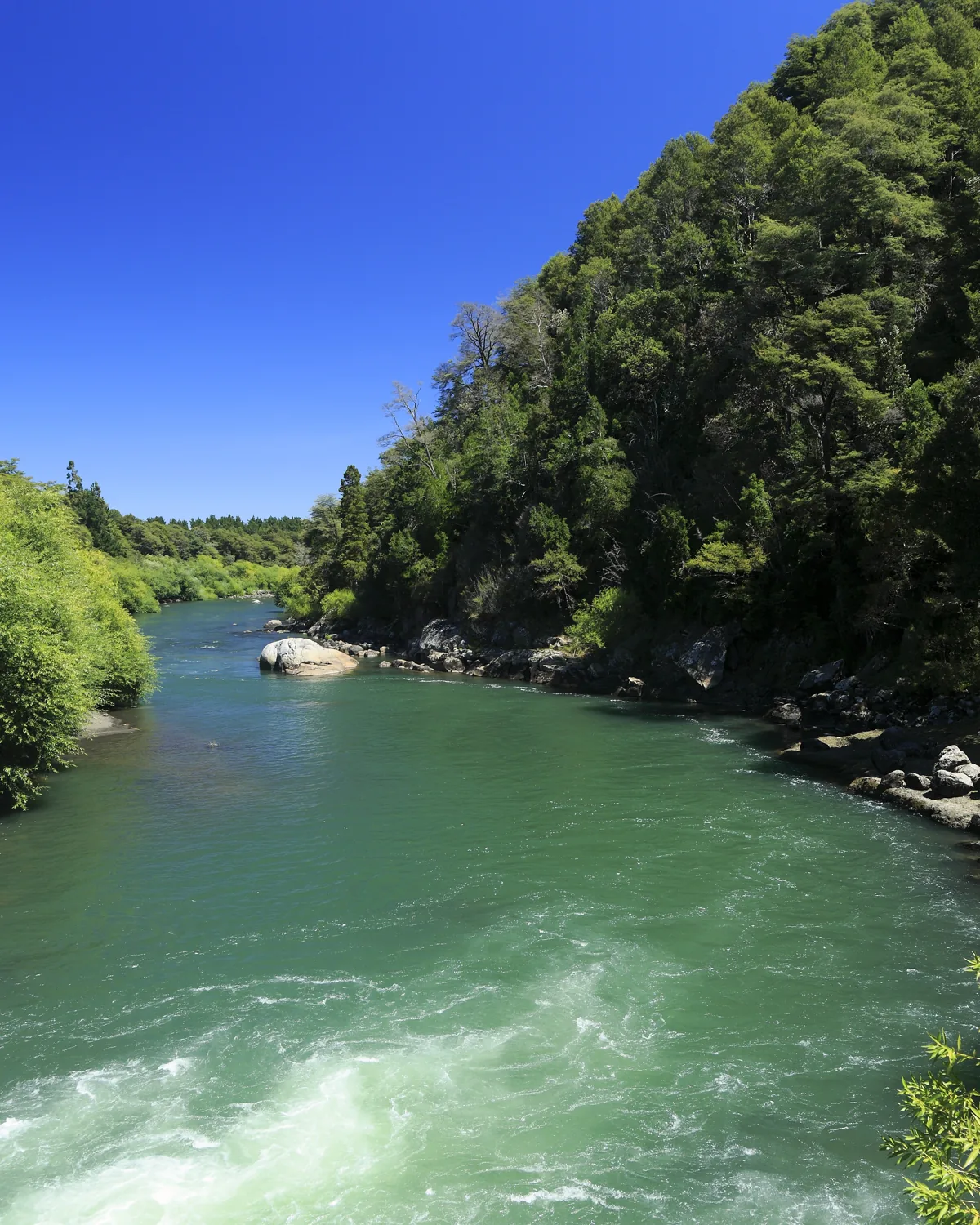
The Trancura river, turquoise between forested banks
Río Trancura, ten minutes below the hillFalk2 · CC BY-SA 4.0
A lake seen between tree trunks, hills behind
Lakeshore, summer
  • Lago Caburgua12 km · 20 min

    The clearest lake in the district. White-sand beaches, warm enough to swim from December to March.

  • Ojos del Caburgua10 km · 15 min

    Turquoise pools and waterfalls in the forest where the lake drains underground.

  • Lago Villarrica, Pucón beach21 km · 35 min

    Black volcanic sand, boats and paddleboards, the volcano across the water.

  • Río Trancura5 km · 10 min

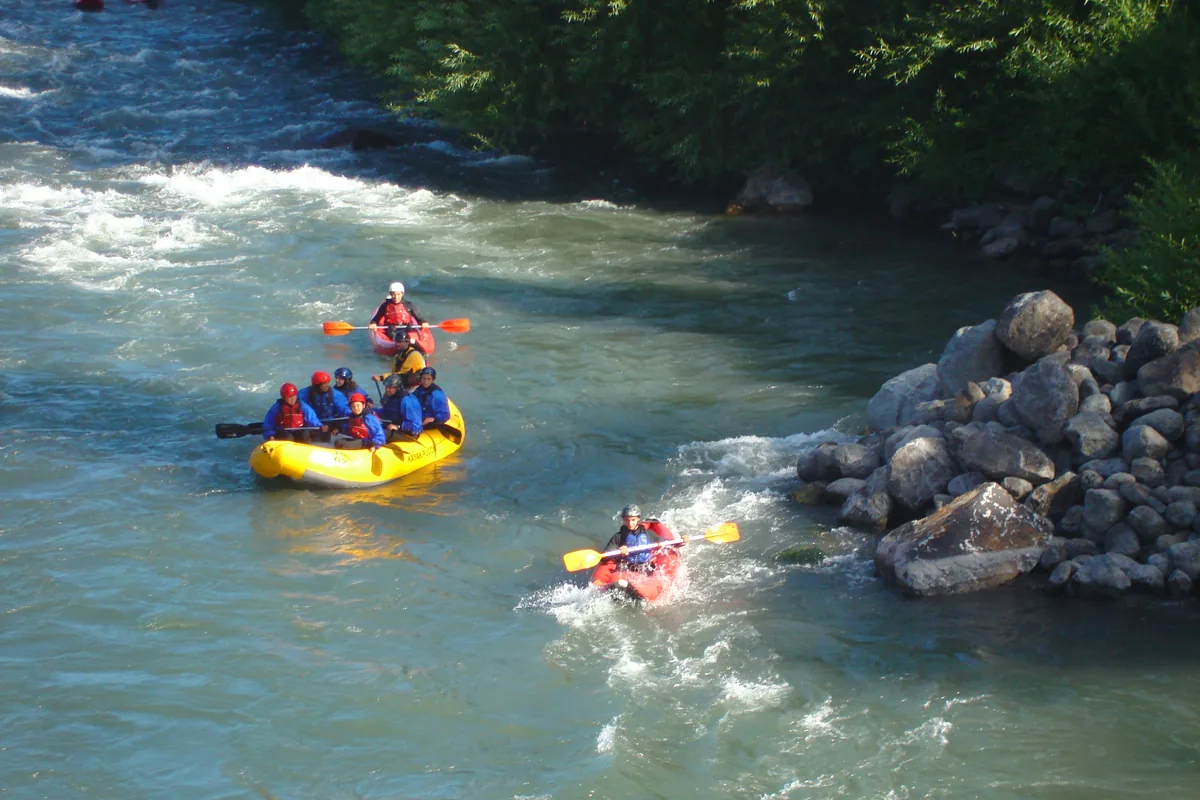
    The river below the hill. Rafting and kayaking, class III–IV in the spring melt and gentler in summer, and salmon and trout for fly fishers.

02
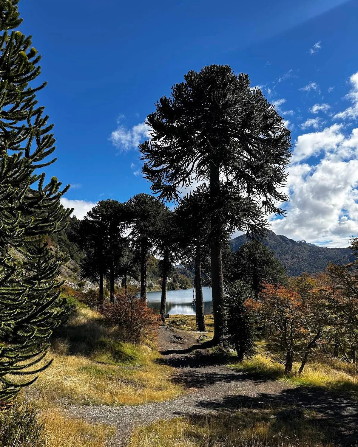
Mountains

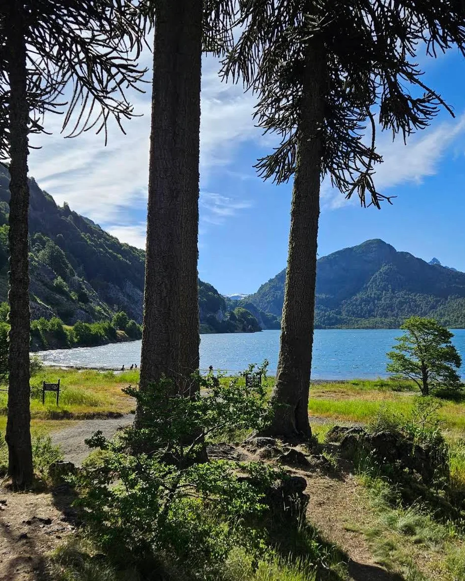
Araucaria trees along a trail, a lake and mountains beyond
Araucarias on the trail, Huerquehue
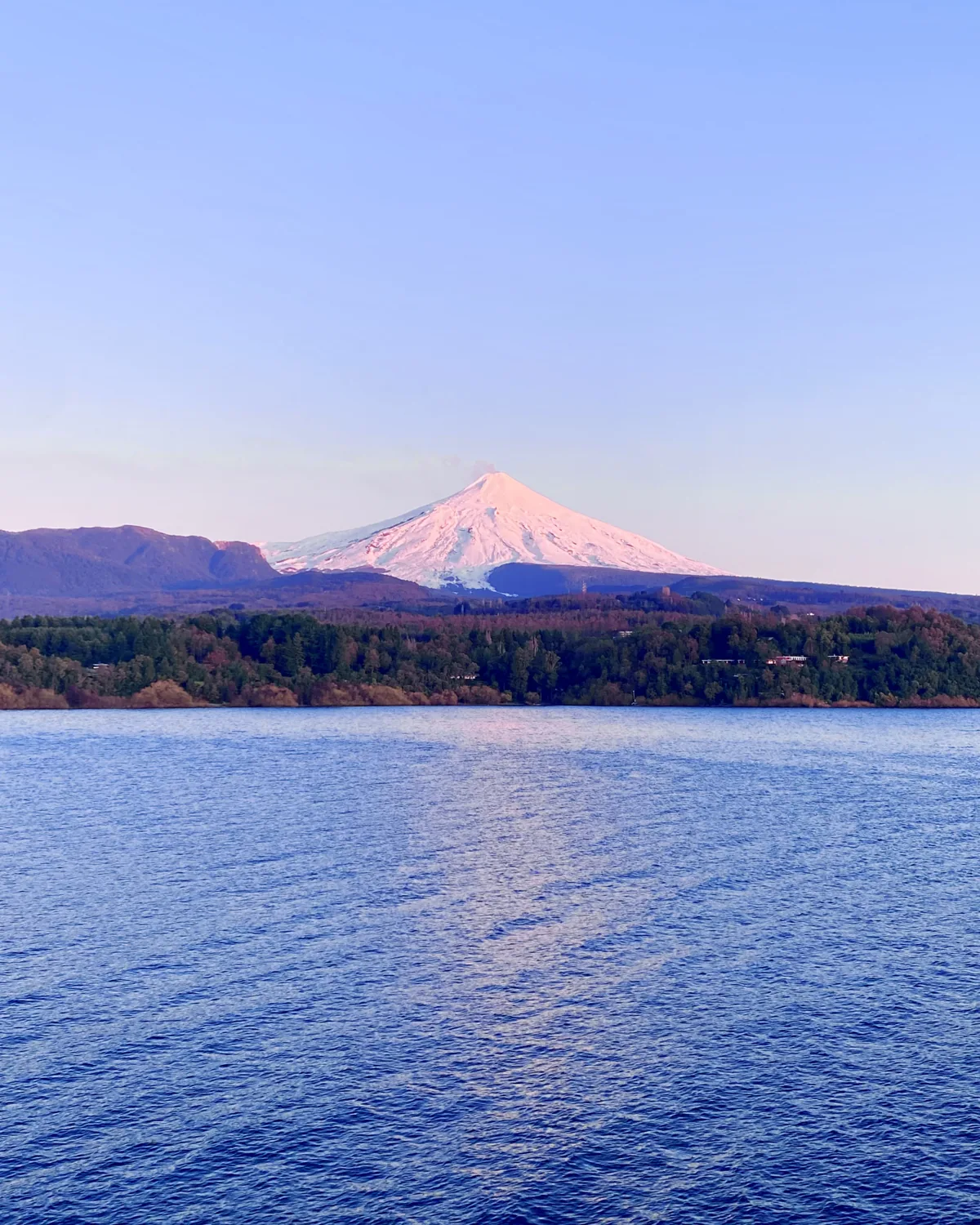
Villarrica at dusk across the lake
Villarrica at dusk, from the lakeNbendersky · CC BY-SA 4.0
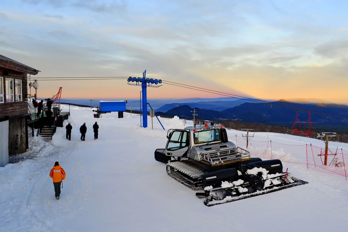
  • Volcán Villarrica22 km · 50 min to the ski centre

    Climb to the crater in a day in summer; ski on its flank in winter with the lake below you.

  • Parque Nacional Huerquehue15 km · 30 min

    Araucaria forest, a chain of small lakes, the Los Lagos trail. The park entrance is at Lago Tinquilco.

  • Quetrupillán and Lanín24 and 43 km · in view

    The two other volcanoes on the horizon. Quetrupillán is in Villarrica National Park; Lanín stands on the Argentine border.

  • Salto El Claro17 km · 35 min

    A 90-metre waterfall in the forest above Pucón, a short walk from the road.

03
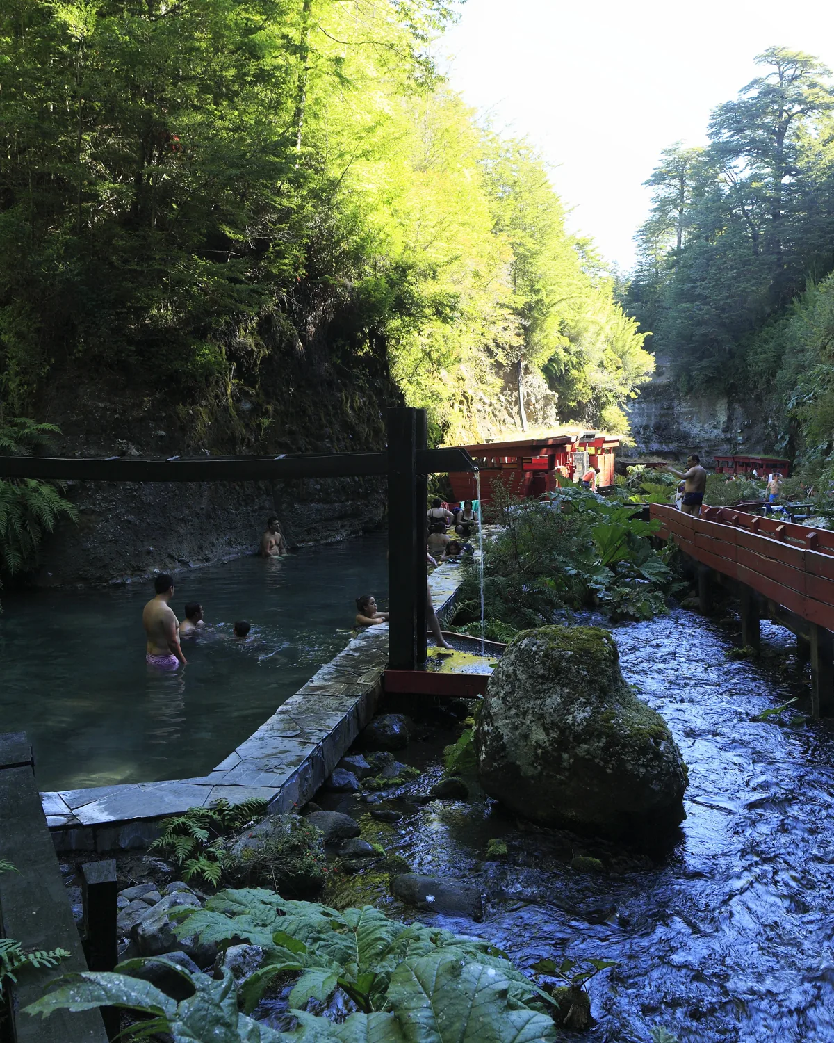
Thermal springs

Red wooden walkways over hot pools in a forested gorge
Termas GeométricasFalk2 · CC BY-SA 4.0
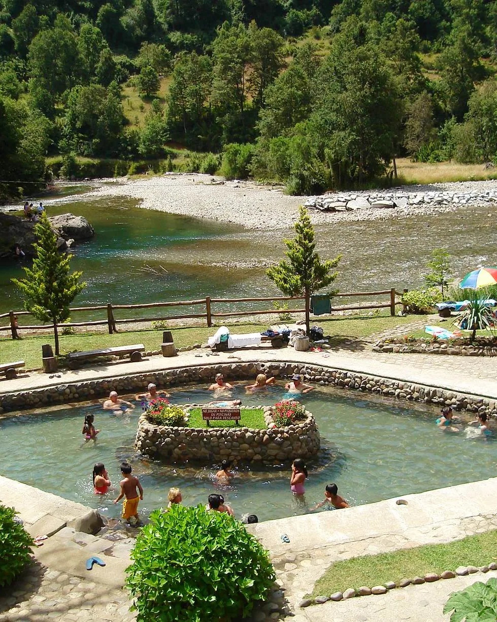
A thermal pool beside the river at Huife
Termas de Huife, by the LiucuraMarco Antonio Correa Flores · CC BY-SA 3.0
  • Parque Termal Menetúe5 km · 10 min

    Hot pools in the forest by the Trancura, among the best in the district. Ten minutes from the gate. A winter evening, not a day trip.

  • Termas Montevivo7 km · 20 min

    Ten minutes beyond the Menetúe hot springs on the same road; smaller, quieter, open in the evening.

  • Termas de Huife12 km · 25 min

    Stone pools on the bank of the Liucura river.

  • Termas Los Pozones14 km · 30 min

    Natural rock pools by the river, open late into the night.

  • Termas Geométricas27 km · 1 h 30

    Seventeen slate pools along red wooden walkways in a ravine near Coñaripe. Best in the rain.

04

Town

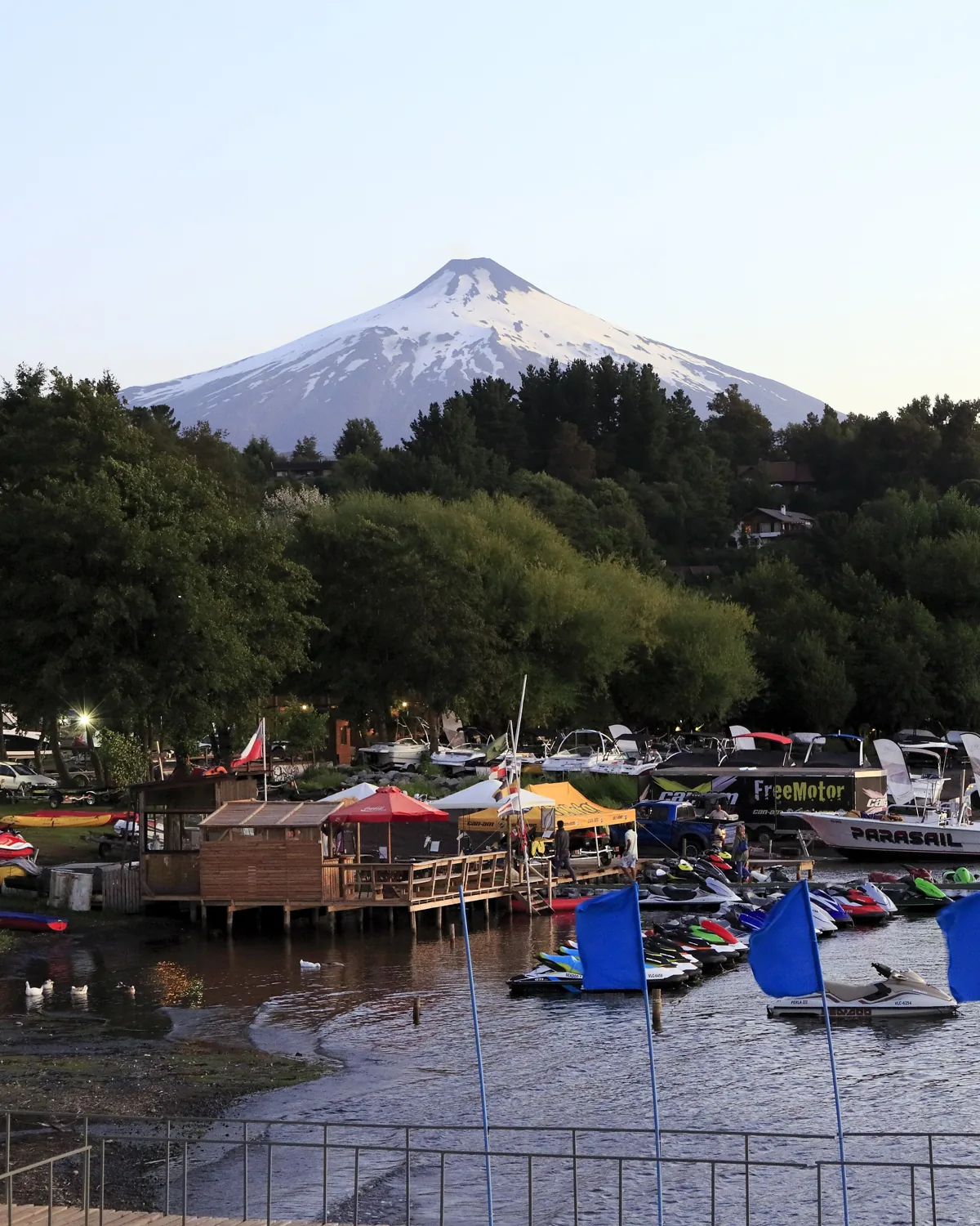
Pucón marina on Lago Villarrica with the volcano behind
Pucón, the marina and the volcanoFalk2 · CC BY-SA 4.0
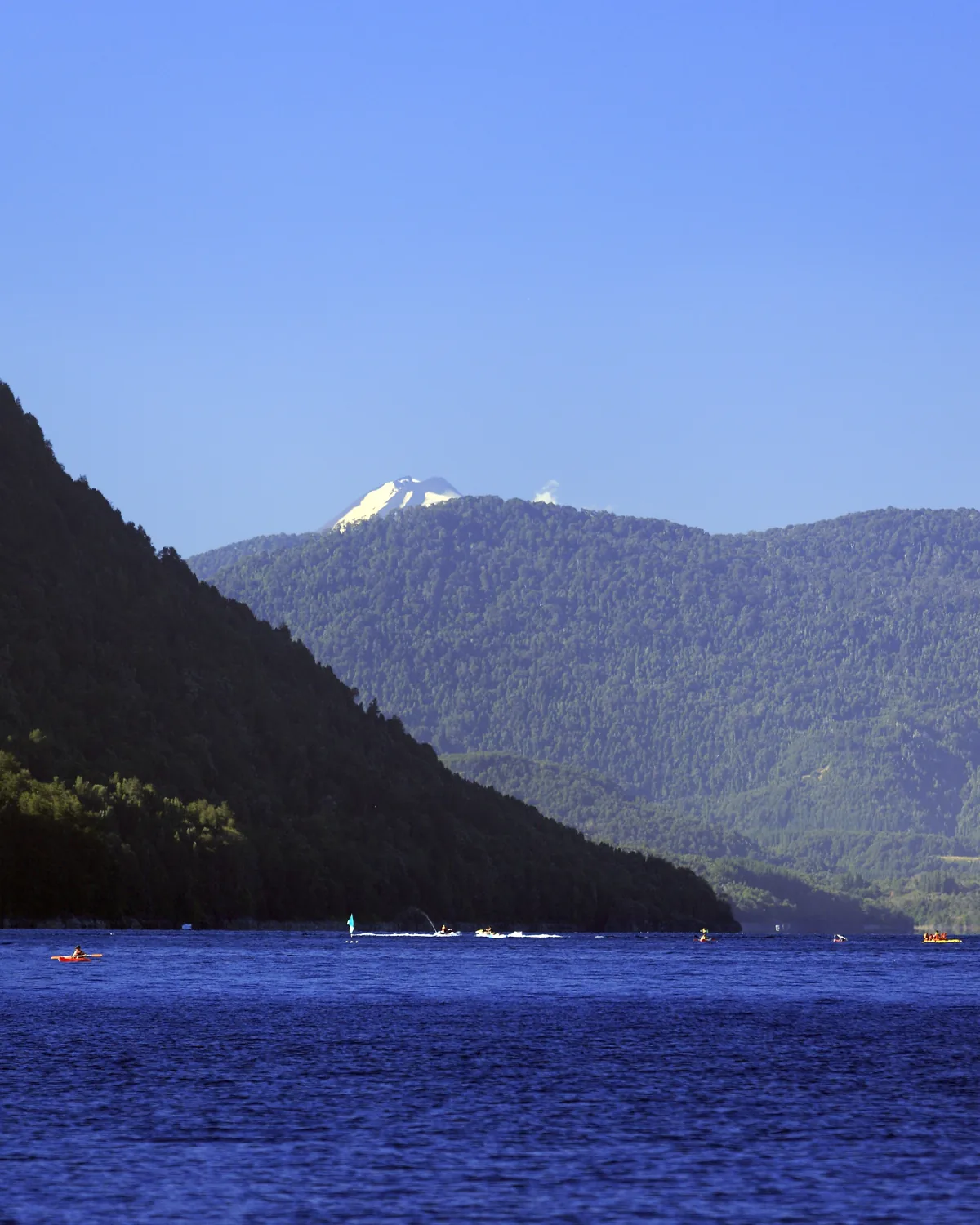
Lago Caburgua with forested hills and a snow peak
  • Pucón20 km · 30–35 min

    Restaurants, supermarkets, clinic, schools, a marina and a small airstrip. The town fills in January and February and empties again in March.

  • Villarrica42 km · 1 h

    The larger town on the western end of the lake, with the regional hospital.

  • Curarrehue16 km · 30 min

    A Mapuche village on the road to Argentina; market, cultural centre, the last stop before the pass.

05
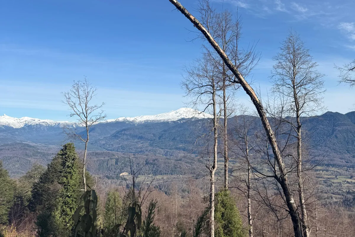
Getting there

Snow-covered range beyond the valley
The range towards the Argentine border, from the hill
  • Temuco airport (ZCO)88 km · ≈ 1 h 50

    Several flights a day to Santiago, 1 h 30 in the air.

  • Santiago by road780 km · ≈ 9 h

    Ruta 5 south to Freire, then east through Villarrica and Pucón.

  • Argentina38 km · 1 h 15 to the pass

    The Mamuil Malal pass leads under Lanín to Junín de los Andes and San Martín de los Andes.

What you can do

All of it within half an hour.

Most places offer one or two of these. Here they are stacked on top of each other within a short drive of the gate, and it is hard to think of anywhere else that manages it.
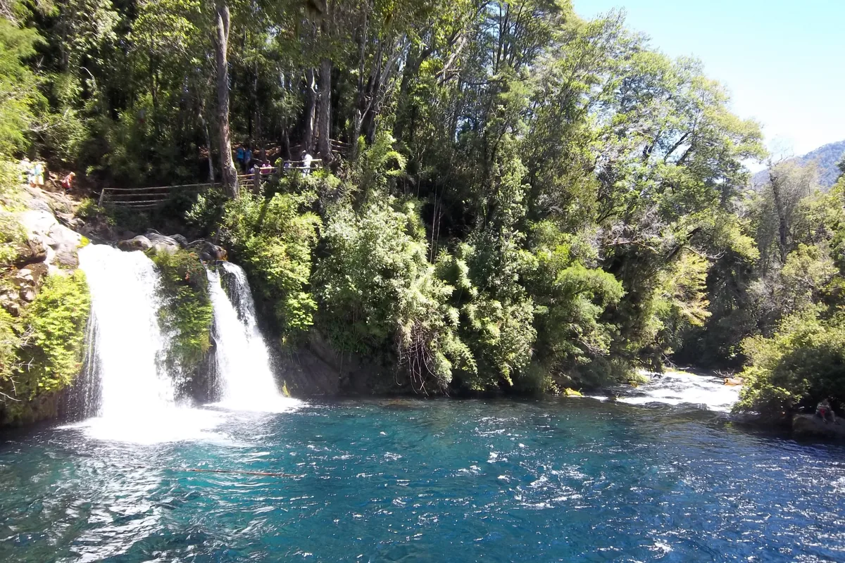
Turquoise pools and waterfalls at Ojos del Caburgua
Ojos del Caburgua · 15 minDario Alpern · CC BY-SA 4.0
A raft and a kayak on the Trancura rapids
Rafting on the Trancura · 10 minWarko · CC BY-SA 3.0
Ski lift on Villarrica at sunset
Skiing on the volcano · 50 minErwinWoenckhaus · CC BY-SA 3.0

And then a hill to come back to where nobody sees you.

Seen nearby

From the people who were there.

Forty-one posts from people who were there. The springs, the river, the lakes, the waterfalls, the volcano in every season. Pick a group; nothing loads from Instagram until you ask for it.

Termas Montevivo at dusk · 20 min from the gateOpen on Instagram
Montevivo in the rainOpen on Instagram
Termas de San Luis, next door to MontevivoOpen on Instagram
Termas Pucón Indómito in the rainOpen on Instagram
Termas Peumayén, hot water while the storm rages outsideOpen on Instagram
Termas Geométricas under snowOpen on Instagram
Termas GeométricasOpen on Instagram
Puesco laps and the upper Trancura, the day the rivers came backOpen on Instagram
Hydrospeed on the TrancuraOpen on Instagram
The Trancura and the Pucón pool from aboveOpen on Instagram
Canyoning in a Pucón gorgeOpen on Instagram
Lago Caburgua, the waterOpen on Instagram
Playa Blanca, Lago CaburguaOpen on Instagram
Caburgua dressed in whiteOpen on Instagram
Paddleboard on Lago VillarricaOpen on Instagram
A kayak on Lago Calafquén, Villarrica behindOpen on Instagram
Mirador de Peces, on the road to CaburguaOpen on Instagram
The trout at Mirador de PecesOpen on Instagram
Ojos del Caburgua, where the lake drains undergroundOpen on Instagram
Salto El Claro after the winter rainsOpen on Instagram
Salto El León, Palguín AltoOpen on Instagram
Salto El LeónOpen on Instagram
A waterfall and a hot tub, 35 minutes from PucónOpen on Instagram
Salto El LeónOpen on Instagram
Cerro Quelhue above the lakeOpen on Instagram
Lagunas Andinas trail, Villarrica National ParkOpen on Instagram
A ski day at Pillán, on the volcanoOpen on Instagram
Snow ridge at sunsetOpen on Instagram
Lakes, volcanoes, waterfalls: Pucón in winterOpen on Instagram
A lightning storm over VillarricaOpen on Instagram
Curarrehue, Lanín and the lakesOpen on Instagram
Mountain bikes at Capilla Ruka, 1 960 mOpen on Instagram
Pucón in autumn colours, by bikeOpen on Instagram
Riding in the snowOpen on Instagram
Aero ride, PucónOpen on Instagram
Pucón from the airOpen on Instagram
South + lake + volcano = PucónOpen on Instagram
Pucón, the townOpen on Instagram
Sunset over the boats, PucónOpen on Instagram
Five places to know in PucónOpen on Instagram
The araucaria in the middle of the road, on the pass to ArgentinaOpen on Instagram

The year

A year on the hill.

Dec to Mar
Long dry days. The lakes at 20 °C, rafting and salmon on the Trancura ten minutes below, trails on the volcano.
Apr to May
The lenga forests turn red. Hot springs in the rain, ten minutes from the gate.
Jun to Sep
Snow on Villarrica. Skiing on the volcano with the lake below. The site sits at 800 m and sees some snow.
Oct to Nov
Clear air, the three volcanoes at their sharpest. The season opens quietly.

Distances are straight-line from the site coordinates; driving times are estimates on the roads as they are today and will vary with season and weather.

Arrange a visit